Nils Bennett · 3 October 2026
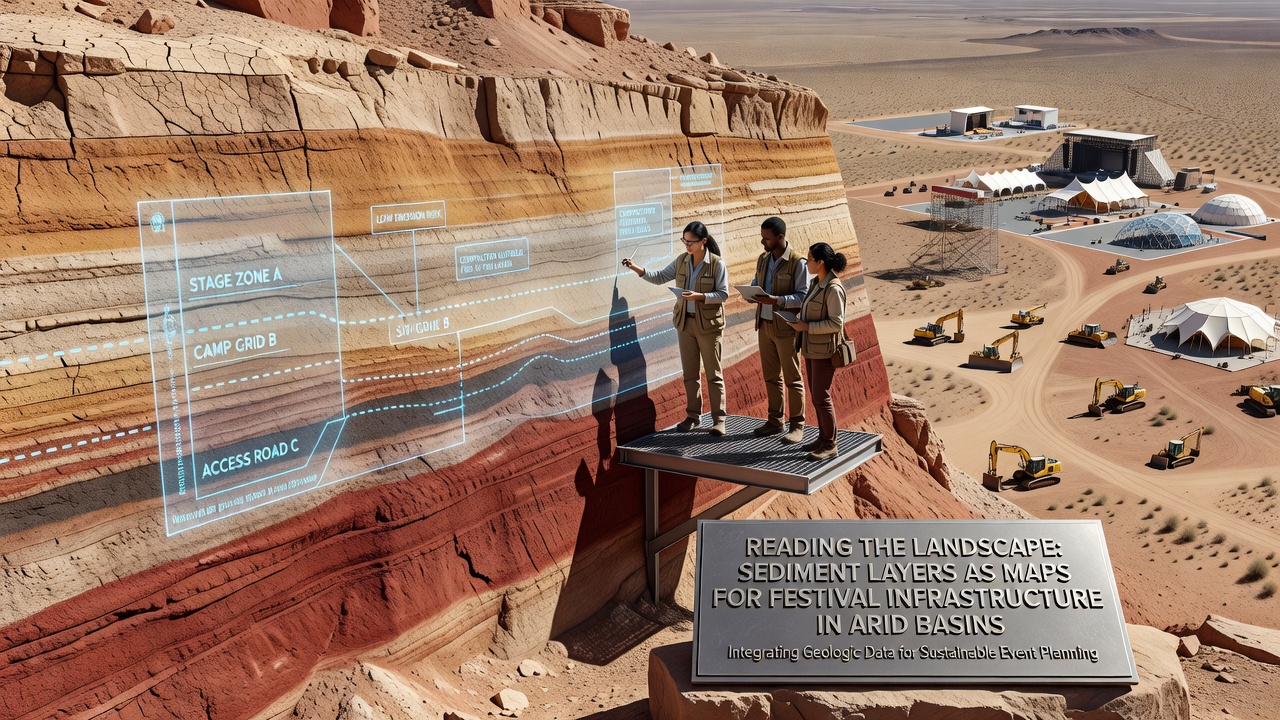
Reading the Landscape: Sediment Layers as Maps for Festival Infrastructure in Arid Basins
Arid basins present unique challenges for large-scale events because their surfaces often conceal complex histories of water flow and deposition, and researchers have turned to sediment layers as reliable indicators for safe infrastructure placement. These layers record past flood events, soil compaction rates, and erosion patterns that directly affect where stages, sanitation facilities, and temporary roads can be installed without risking structural failure or environmental damage. Data from geological surveys show that basins in the southwestern United States and central Australia share similar stratigraphic signatures despite different regional climates, allowing planners to apply comparable mapping techniques across continents.
Stratigraphic Analysis in Event Planning
Sediment cores extracted from basin floors reveal alternating bands of fine silt and coarser gravel that mark seasonal flash floods, and these records help determine the recurrence intervals of high-water events that could inundate low-lying areas. Teams analyzing cores from Nevada's Black Rock Desert have documented layers dating back several centuries, providing a timeline that guides decisions on elevating platforms or rerouting access paths. Similar work conducted by Geoscience Australia in the Lake Eyre Basin has produced comparable datasets that correlate sediment thickness with historical rainfall maxima, enabling organizers to model worst-case scenarios for October 2026 gatherings.
Soil stability measurements derived from these layers indicate load-bearing capacities that vary sharply across short distances, and engineers combine this information with ground-penetrating radar to create three-dimensional maps before any heavy equipment arrives on site. The resulting diagrams show zones where compacted clay layers can support heavy staging versus areas underlain by loose aeolian sand that require additional matting or avoidance altogether.
Integration with Infrastructure Layouts
Once sediment data are compiled, planners overlay them onto proposed festival grids to identify corridors for power distribution and water lines that avoid zones of historical channel migration. In one documented project in the Mojave region, crews shifted an entire camping sector 400 meters upslope after core samples exposed buried paleochannels that had carried water during a 1997 storm event. This adjustment prevented potential washouts while preserving the natural drainage patterns that the basin's ecology depends upon.
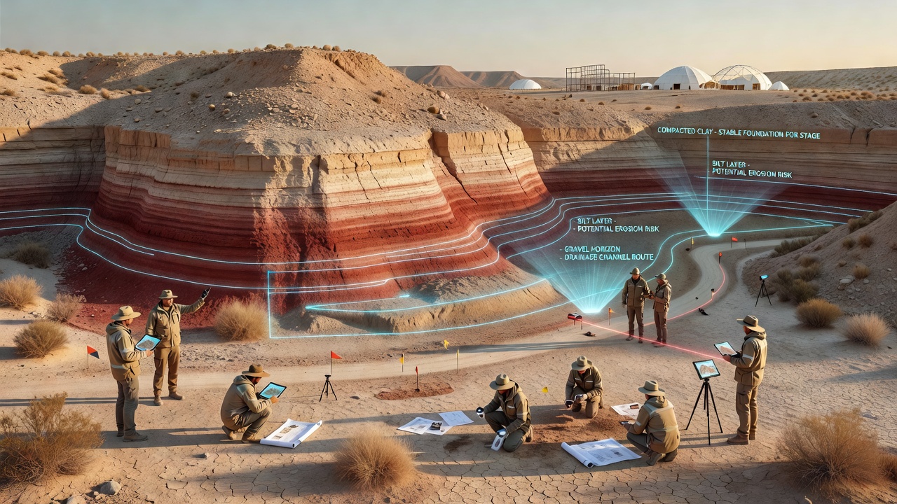
Utility trenches are routed along the crests of older, more stable terraces identified through grain-size analysis, reducing both excavation costs and the likelihood of future subsidence. Electrical substations and generator pads are likewise positioned on surfaces where sediment profiles show minimal recent deposition, a practice that has become standard for events scheduled during the cooler months when attendance peaks.
Regional Data Sources and October 2026 Applications
Agencies such as the U.S. Geological Survey continue to release updated basin-wide sediment maps that feed directly into permitting processes, while research teams at the University of Adelaide have published open datasets covering Australian arid zones that organizers consult when cross-referencing local conditions. These resources allow coordinated planning across multiple jurisdictions ahead of large October 2026 events, when several arid-basin festivals are slated to coincide with optimal weather windows.
Remote sensing combined with field verification now produces sediment-based risk layers that integrate into GIS platforms used by logistics coordinators, and the resulting models forecast surface changes under projected vehicle loads and foot traffic. One study released by Canadian researchers examined analogous dryland sites in British Columbia's interior and found that pre-event sediment mapping reduced post-event remediation expenses by more than 30 percent in comparable settings.
Conclusion
Sediment-layer mapping has evolved from a niche geological technique into a standard component of arid-basin festival infrastructure design, supplying objective criteria that reduce uncertainty around placement and longevity of temporary structures. Continued refinement of core sampling protocols and integration with satellite-derived elevation models will further tighten the alignment between historical landscape data and future event footprints, ensuring that infrastructure decisions remain grounded in measurable stratigraphic evidence rather than surface assumptions alone.